Image 1 of 2
 Image 2 of 2
About my work:
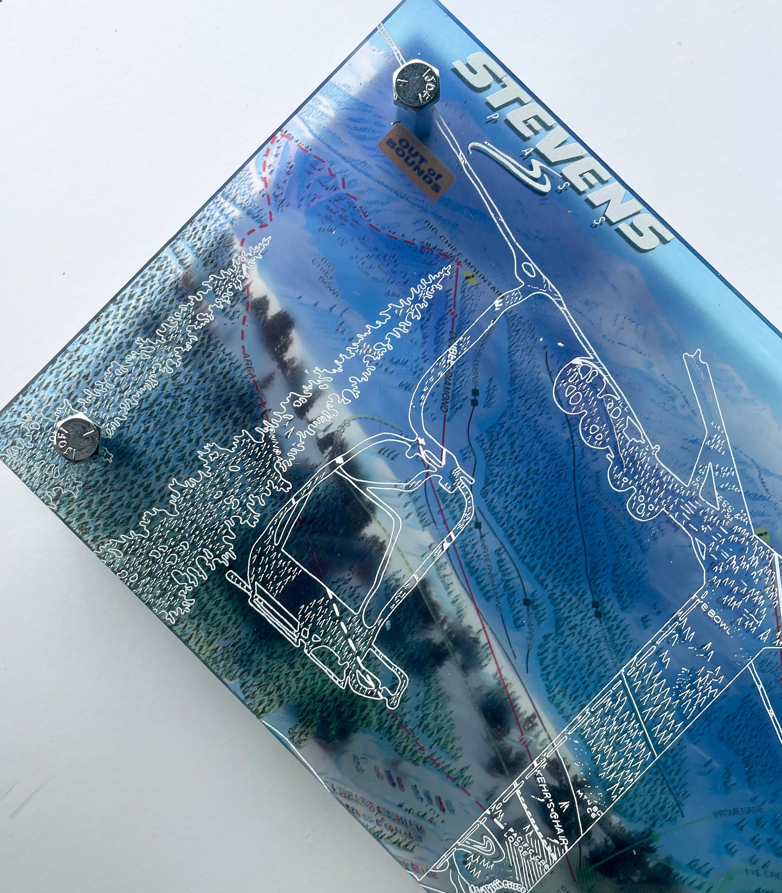
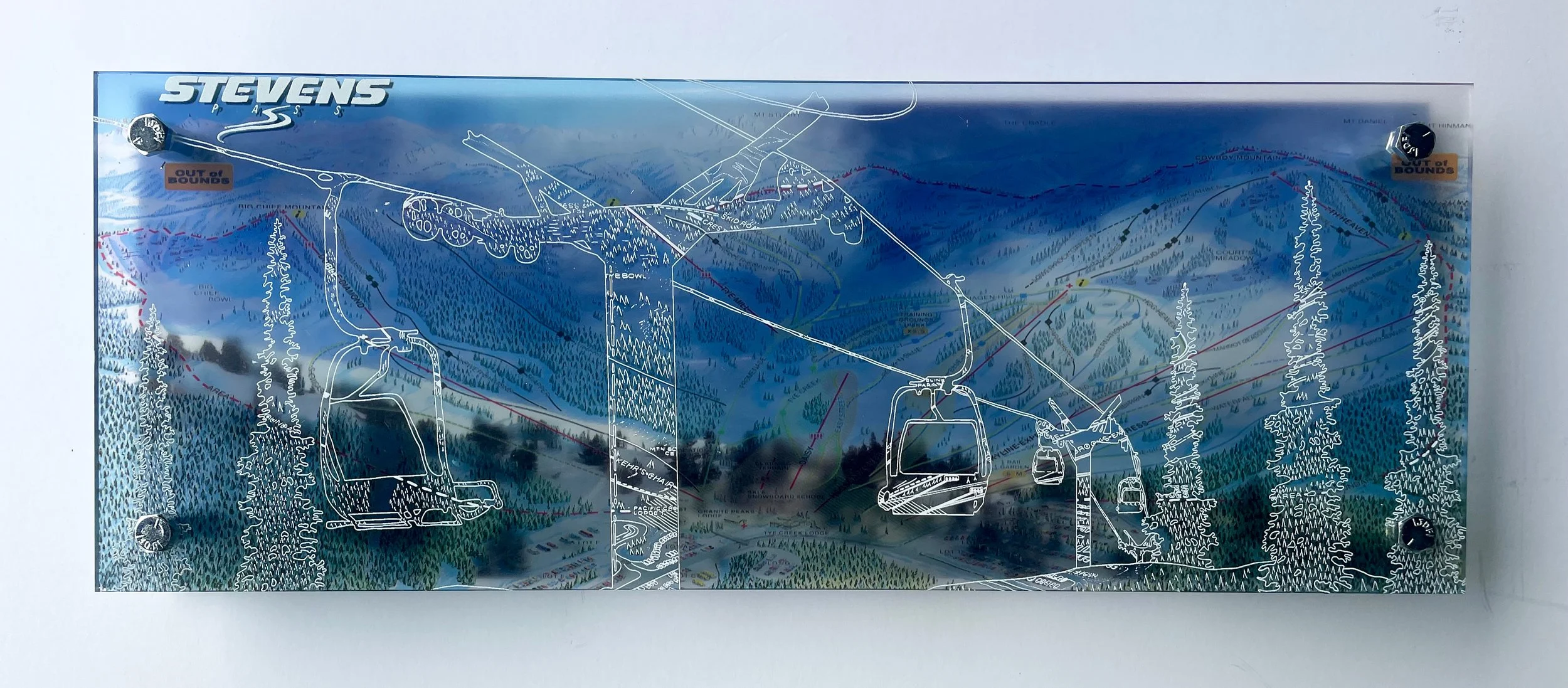
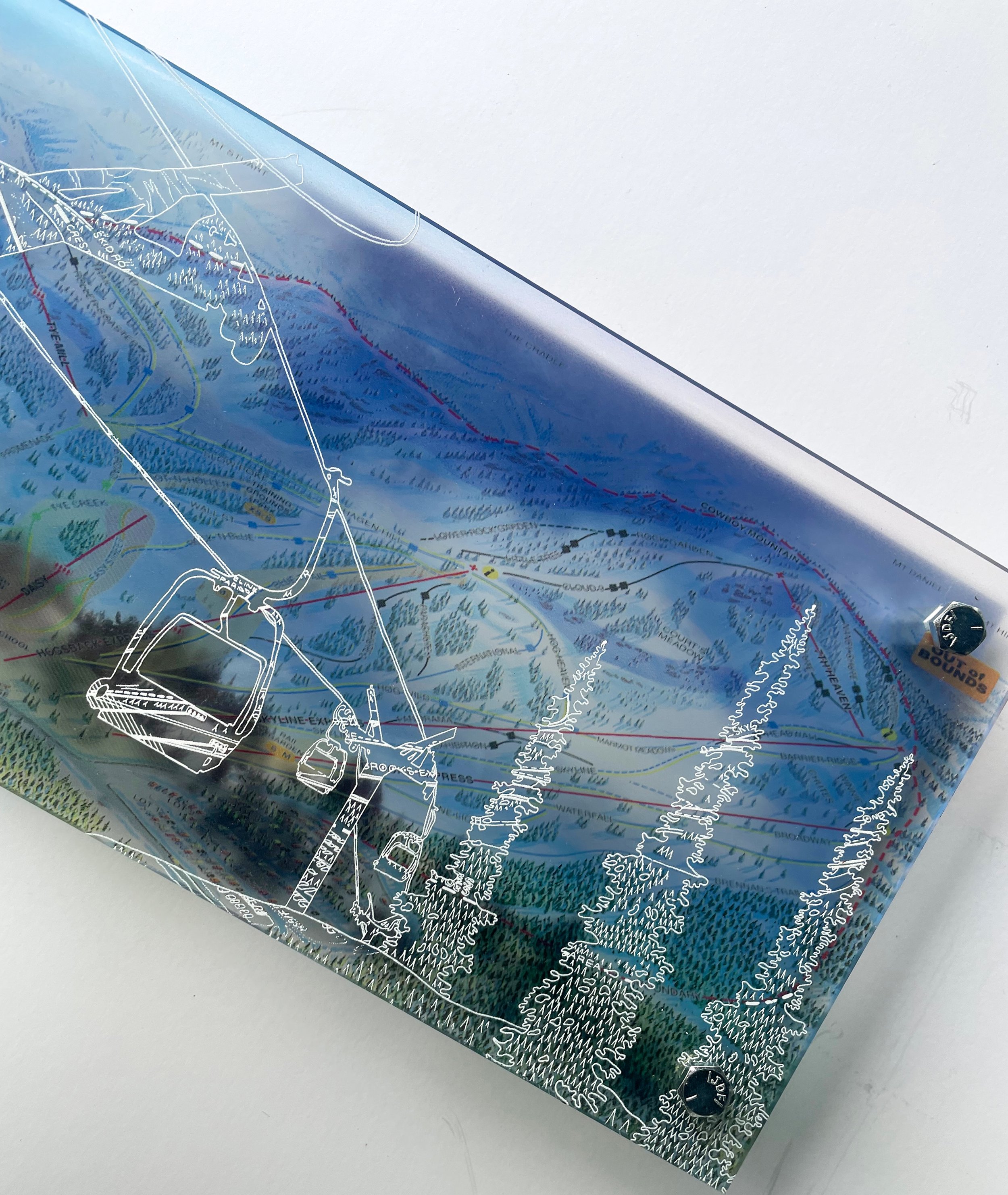
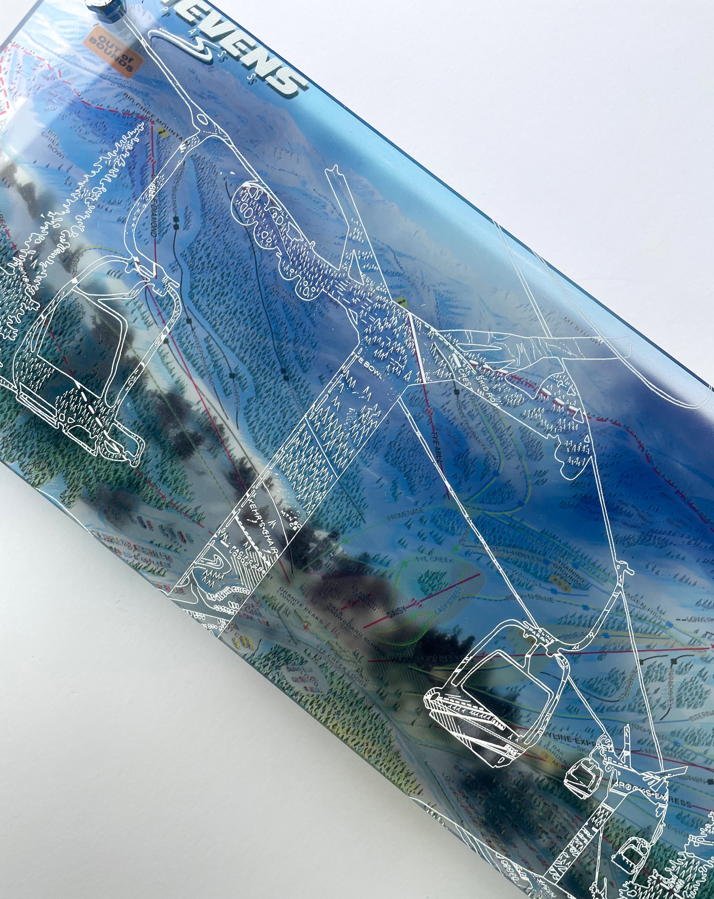
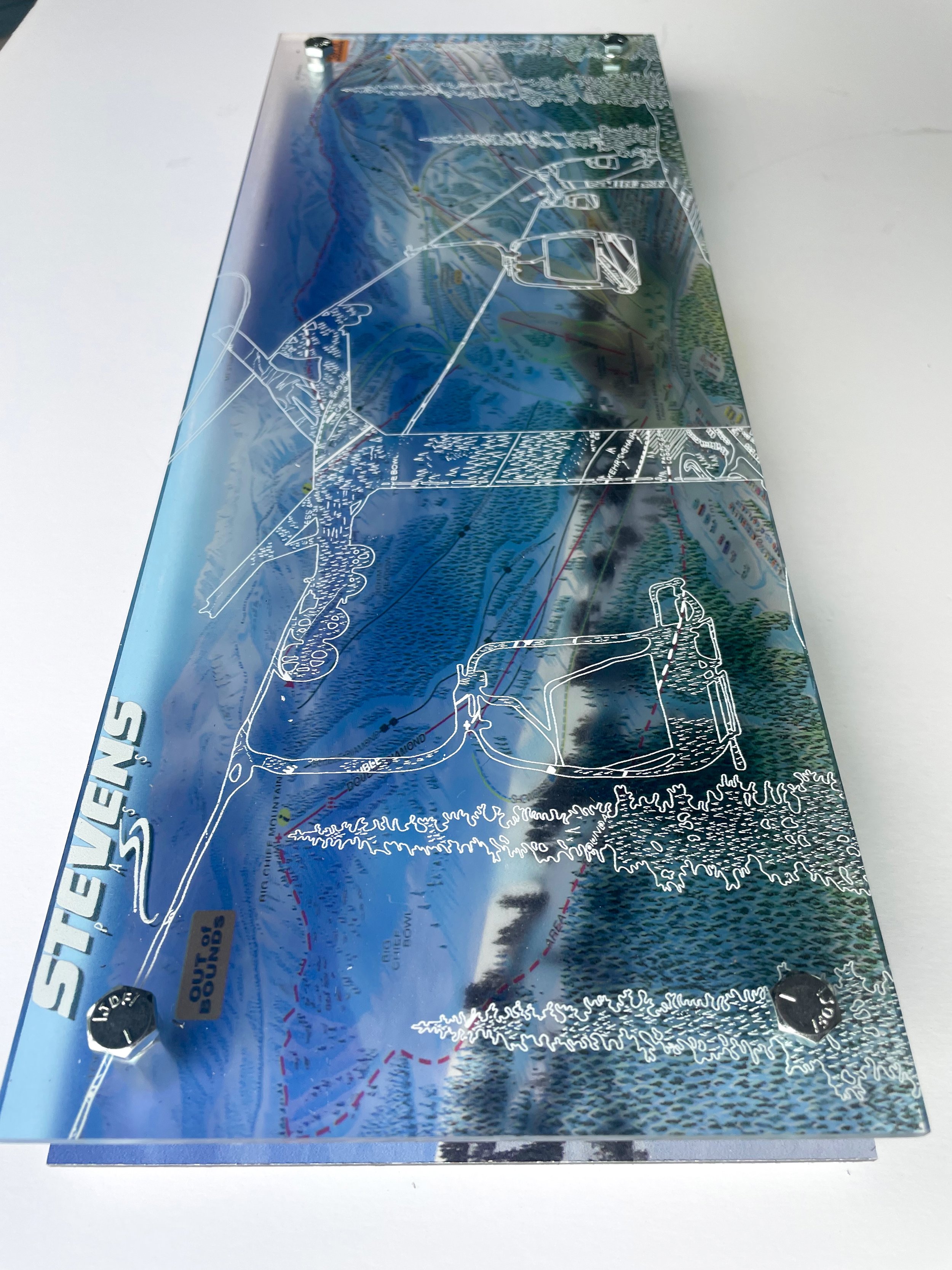
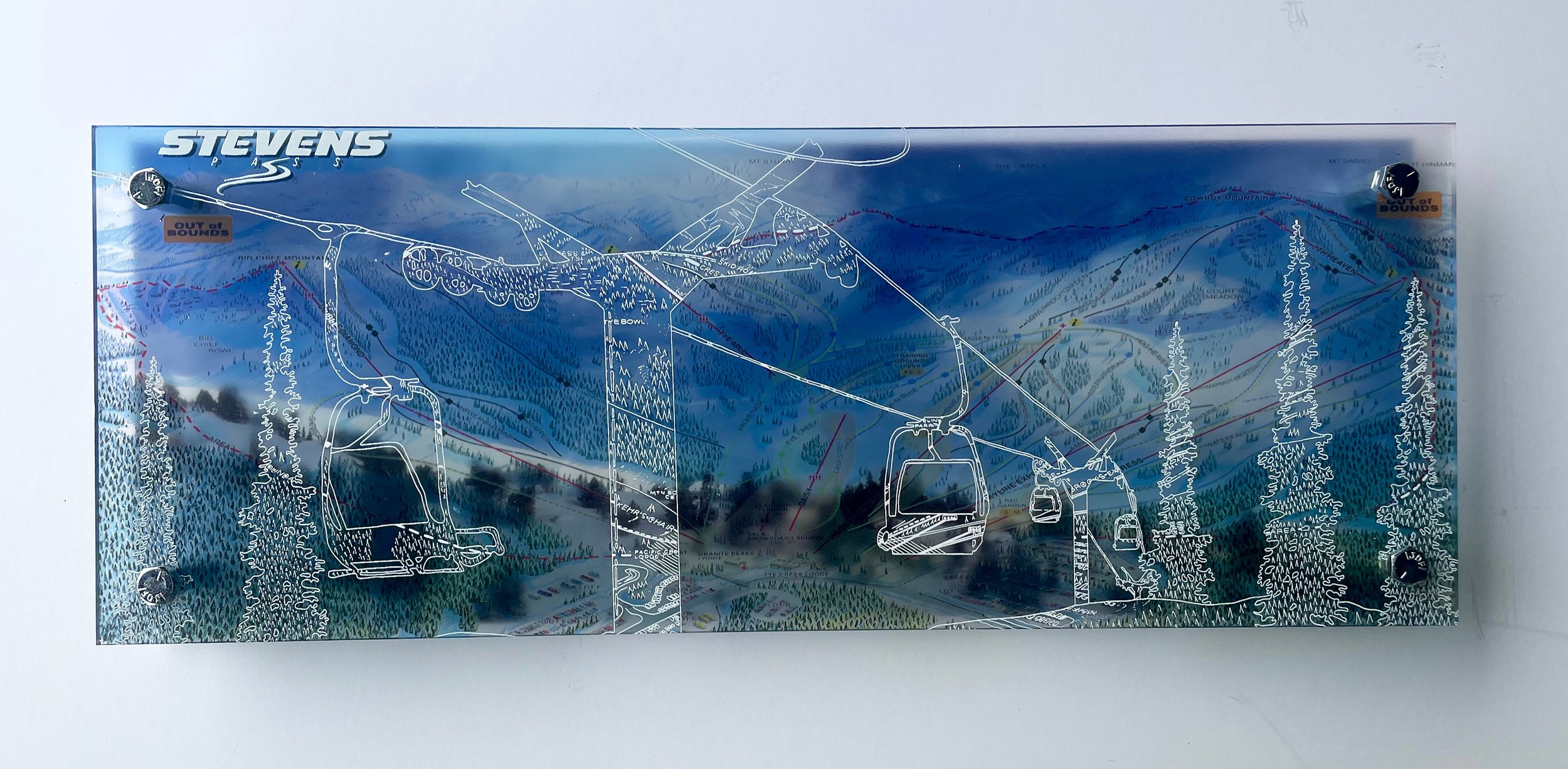
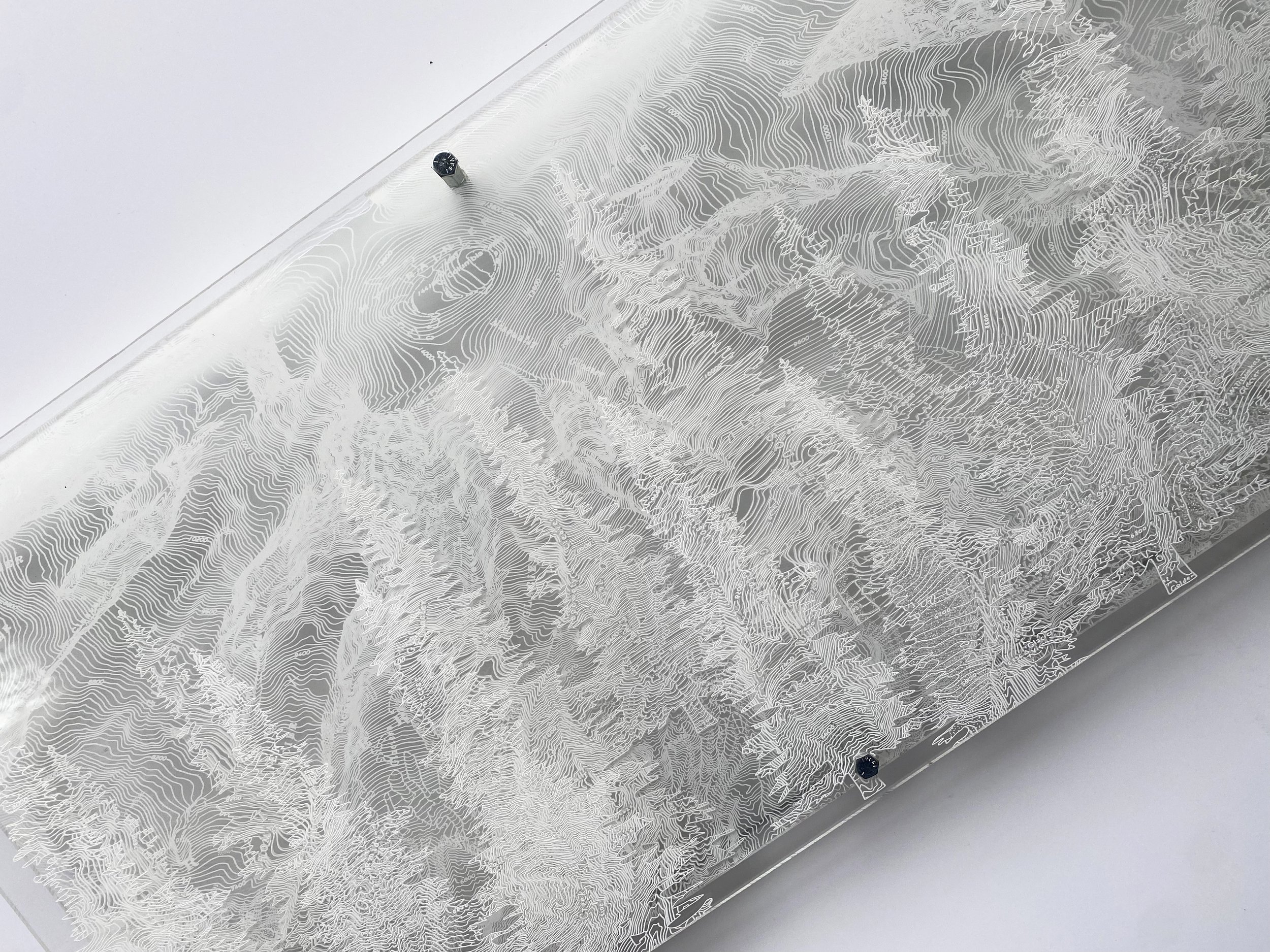
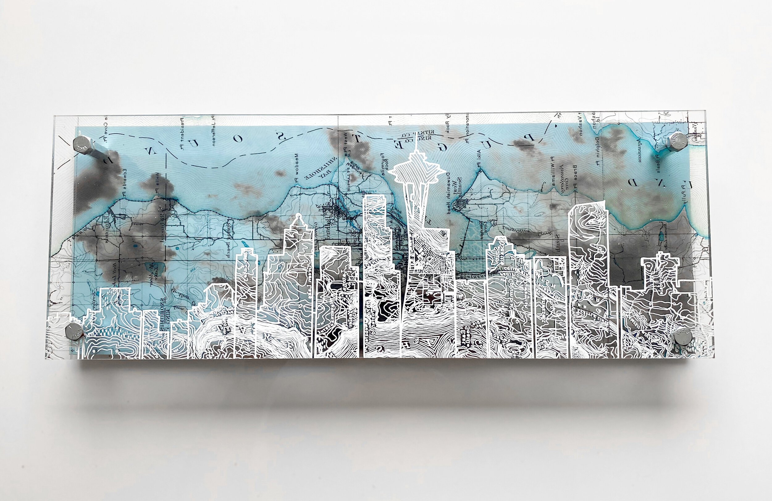
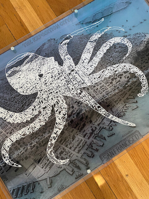
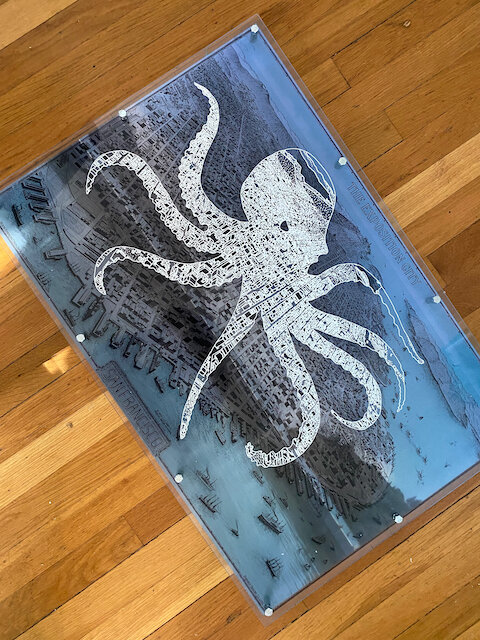
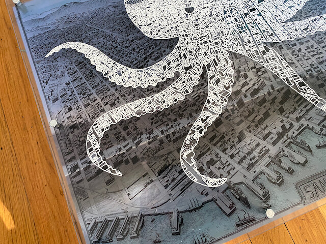
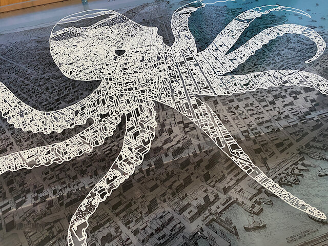
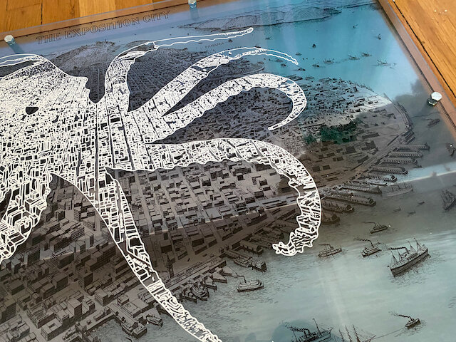
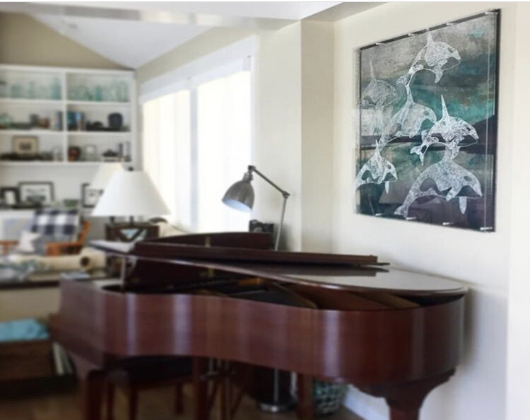
Maps are designed on clear plexiglass - I trace the map lines within the silhouette in white ink, creating original patterns from the topography or city block lines. Each map & illustration is backed with an original photograph I took on location. The unframed, dimensional nature of my work showcases the map, illustration and photographs in a single, contemporary design.
All maps are based on GIS, Forest Service Maps and historical files.
Total Weight 15 lbs
Hangs on large nails or screws and mollybolts.
Uv Rated, Water and Sunlight Proof.
Interested in a custom design? Feel fill out my commission request form or shoot me an email, Hello@modernterrain.com
Tahoe Bear Photo Shows Layers Between the Map and Background Photography - the unframed frame of Modern Terrain.